Skip to content
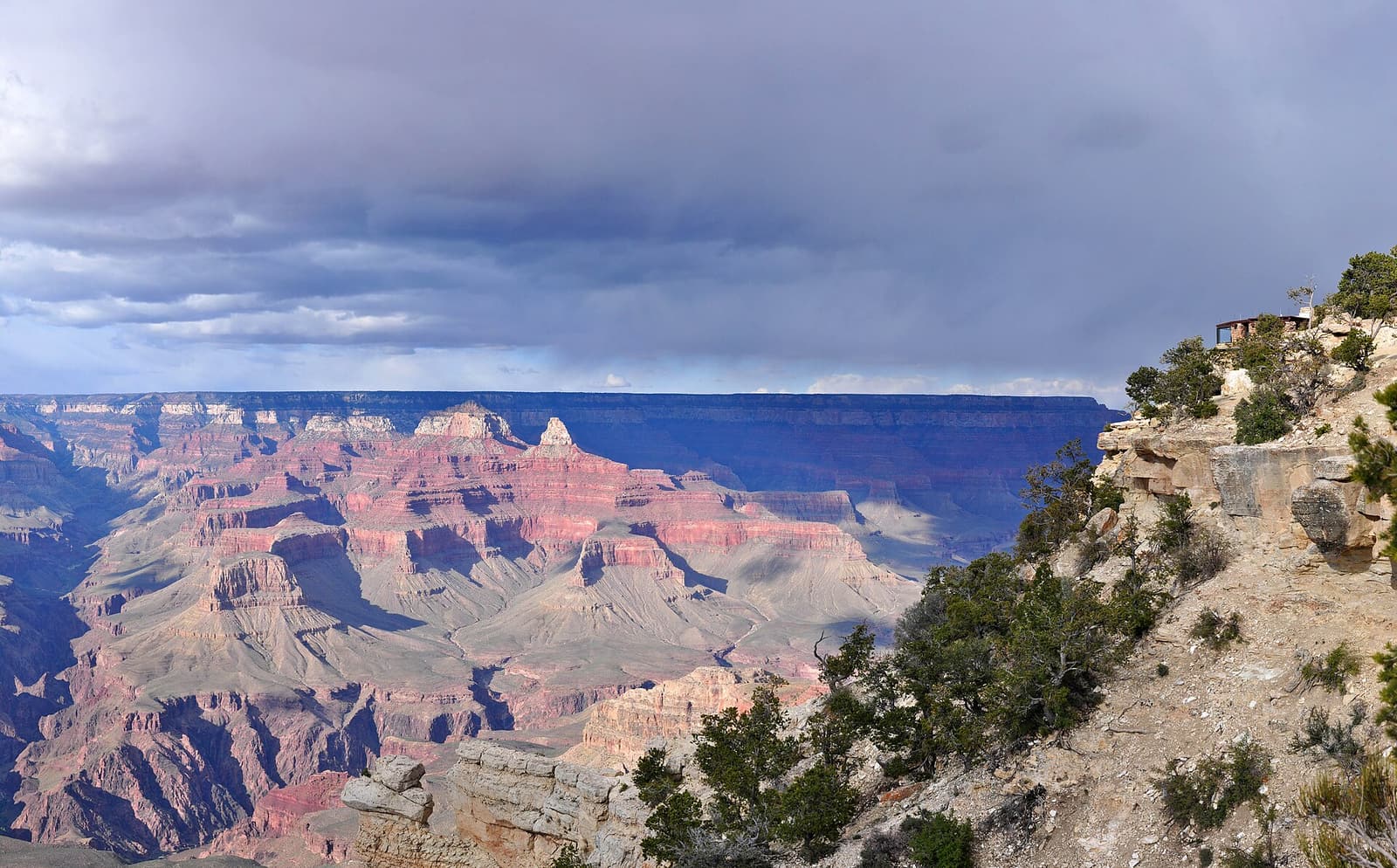
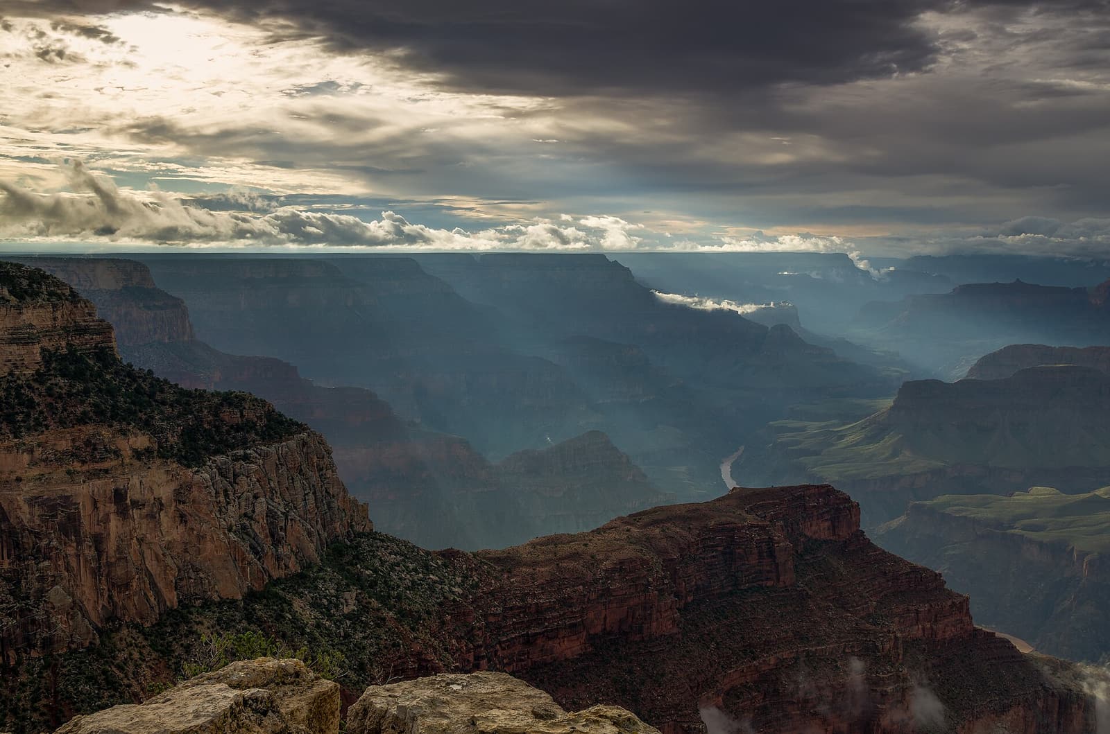
Sun rays breaking through clouds over the canyon at Hopi Point on Hermit Road

Things to See at the Grand Canyon

The viewpoints of the South Rim, the trails and river below, the other rims — and the canyon country all around.

The Grand Canyon is too big to “see” in one place. Its sights fall into three groups. On the South Rim — where most visitors go — are the classic viewpoints, the historic village and the scenic drives. Below the rim and beyond it are the trails, the Colorado River, the seasonal North Rim, Grand Canyon West with its Skywalk, and the waterfalls of Havasu Canyon. And within a few hours’ drive is the rest of canyon country: Horseshoe Bend and Antelope Canyon near Page, the Route 66 towns of Williams and Flagstaff, and the red rocks of Sedona.

Each has its own detailed guide below, with what to see, how to get there, practical tips and the tours that go there.
South Rim

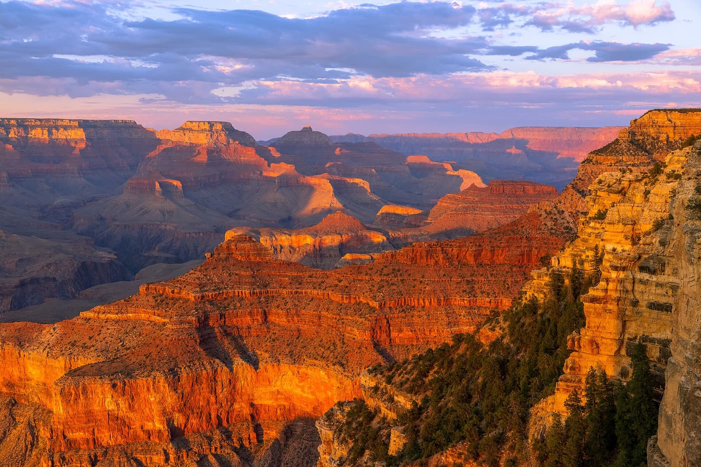
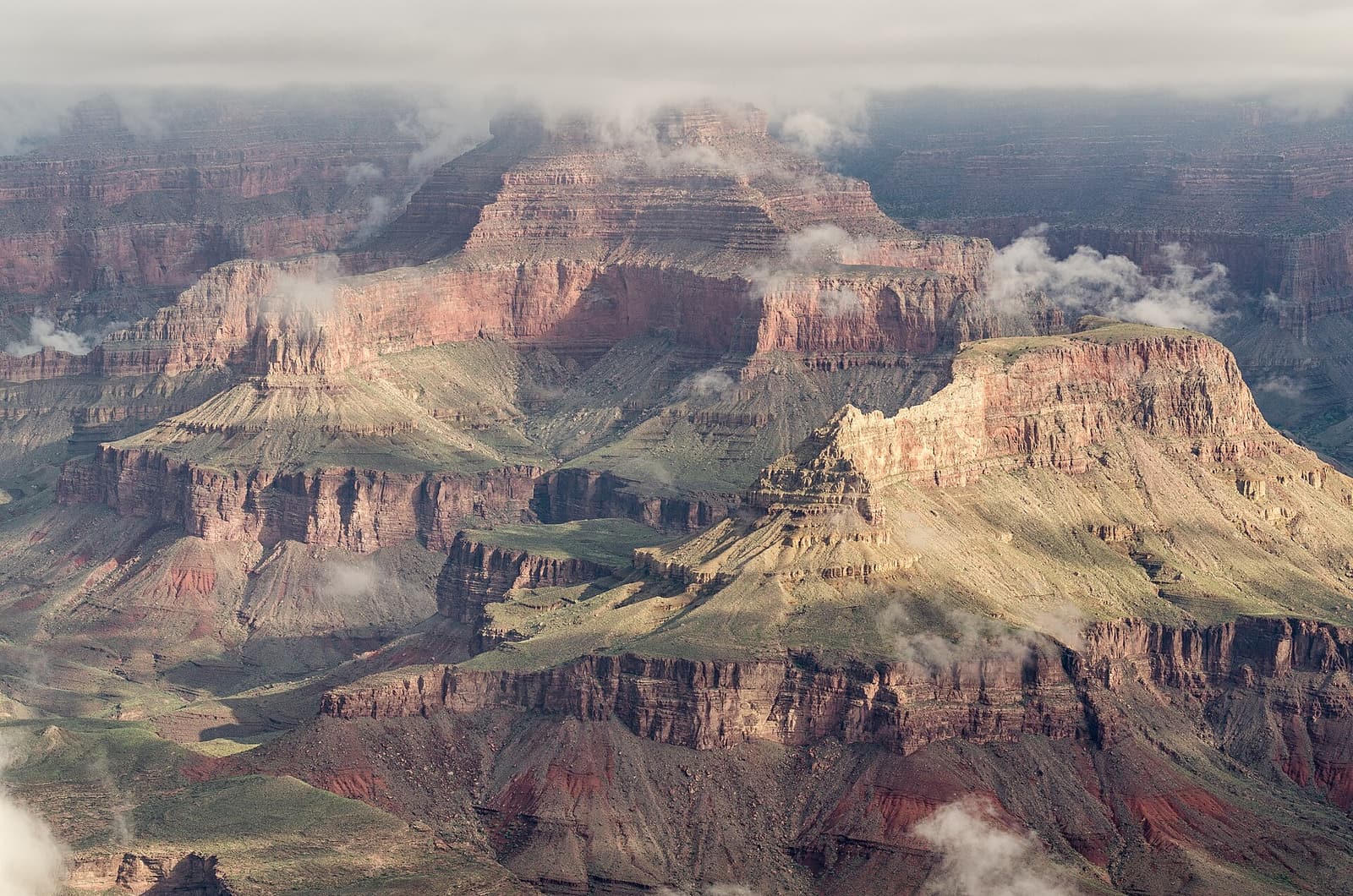
Clouds drifting over the layered buttes and temples of the Grand Canyon seen from the South Rim South Rim

Mather Point

The first, and most famous, view of the canyon

A rocky promontory a short walk from the main visitor center on the South Rim, and the place where most people see the Grand Canyon for the first time. Railed terraces push out over the edge, with a vast view east and west across the canyon. It is busy at sunrise and in the middle of the day, and the Rim Trail runs from here in both directions.

El Tovar Hotel, a timber and stone lodge, standing on the very edge of the South Rim South Rim

Grand Canyon Village

Historic lodges on the edge of the abyss

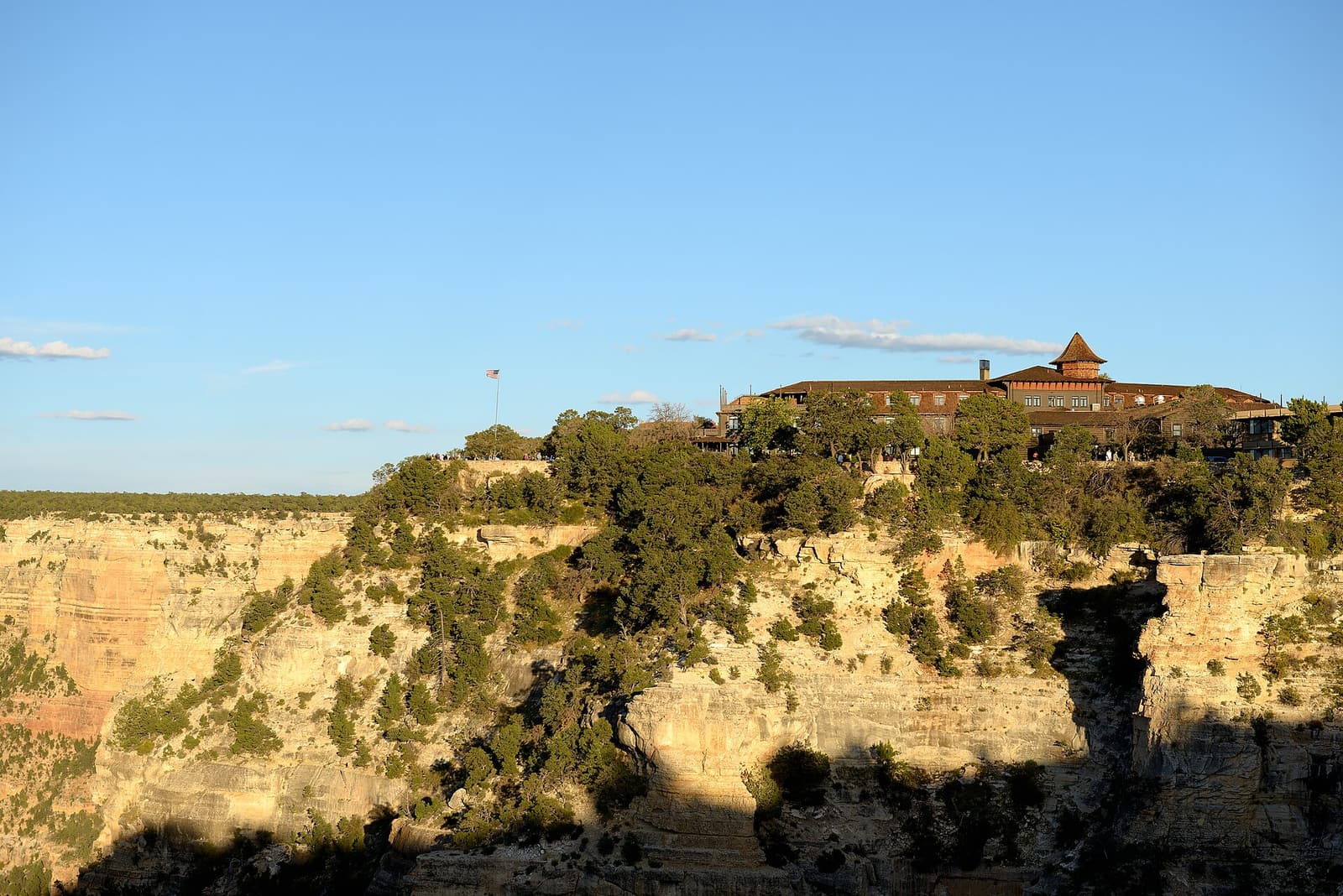
The heart of the South Rim: a cluster of early-twentieth-century buildings strung along the rim — El Tovar Hotel, Hopi House, Kolb Studio, Lookout Studio, Bright Angel Lodge — together with the railway depot, the in-park lodges, restaurants and the head of the Bright Angel Trail. You can walk the whole historic district on the paved Rim Trail.

Wide view into the Grand Canyon from the Yavapai Geology Museum on the South Rim South Rim

Yavapai Point & Geology Museum

The best place to understand what you are looking at

A small stone museum perched on the rim between Mather Point and the village, with huge picture windows and exhibits that explain how the canyon’s rock layers were laid down and then cut through. The view from the point outside takes in several miles of the Colorado River and the line of the Bright Angel Trail. It is also one of the finest sunset spots on the South Rim.

Sun rays breaking through clouds over the canyon at Hopi Point on Hermit Road South Rim

Hermit Road

Seven miles of viewpoints west of the village

The scenic road that follows the rim west from Grand Canyon Village to Hermits Rest, with nine overlooks on the way — among them Powell Point, Hopi Point, Mohave Point and Pima Point. For most of the year it is closed to private cars and served by the free red-route shuttle bus, which makes it the quietest and most rewarding part of the South Rim to explore.

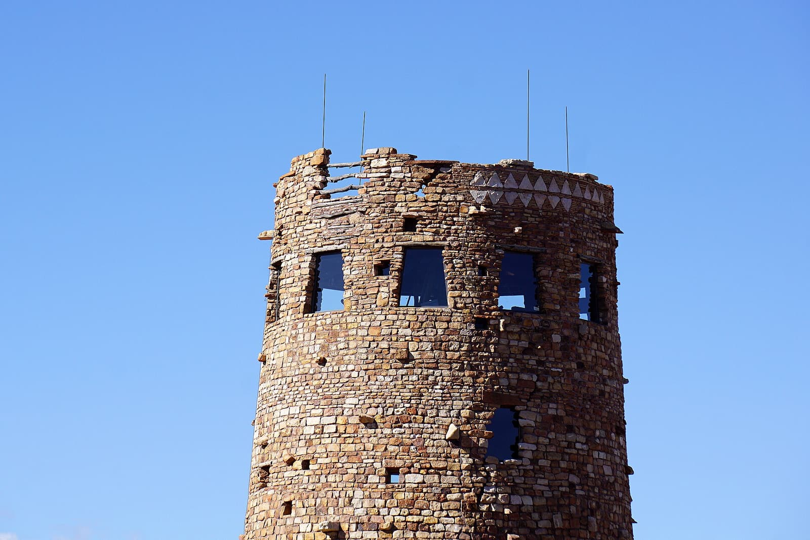
The circular stone Desert View Watchtower against a clear blue sky South Rim

Desert View & the Watchtower

The eastern end of the South Rim

About 25 miles east of the village along Desert View Drive stands the Desert View Watchtower, a 70-foot stone tower designed by Mary Colter and completed in 1932, with murals inside by the Hopi artist Fred Kabotie. From here the canyon opens out towards the Painted Desert, and you can see the Colorado River turning west. On the way are Grandview, Moran, Lipan and Navajo Points.

Inner canyon, North Rim & West

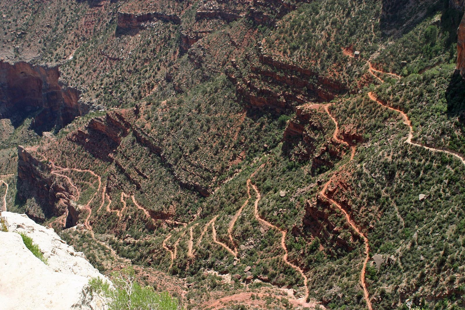
The switchbacks of the Bright Angel Trail winding down a green slope below the South Rim Inner canyon, North Rim & West

Bright Angel Trail

The classic trail into the canyon — with shade and water

The most popular trail below the South Rim starts beside Bright Angel Lodge and zig-zags down a natural break in the cliffs. Resthouses at 1.5 and 3 miles and the oasis of Havasupai Gardens at 4.5 miles make sensible turnaround points; the river is almost 8 miles and 4,400 feet down. The park strongly advises against trying to reach the river and return in one day.

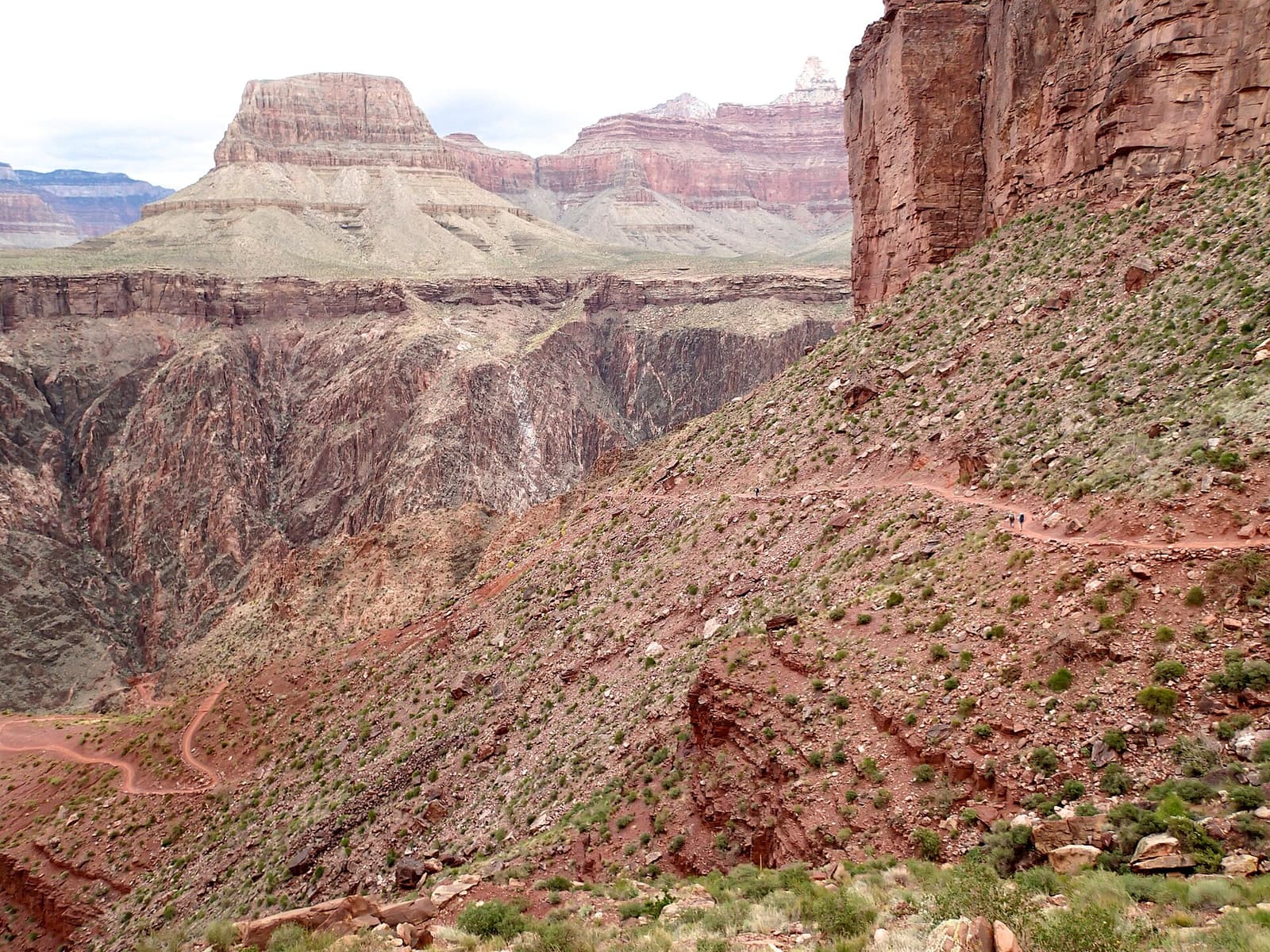
The South Kaibab Trail cutting across a red slope with buttes rising behind Inner canyon, North Rim & West

South Kaibab Trail

Ridge-top views all the way down

Steeper and more exposed than the Bright Angel, the South Kaibab runs down a ridge with panoramic views from the very first switchbacks. Ooh Aah Point (under a mile) and Cedar Ridge (1.5 miles) are the classic short hikes. There is no water and almost no shade on the trail, and the trailhead is reached by the free shuttle rather than by car.

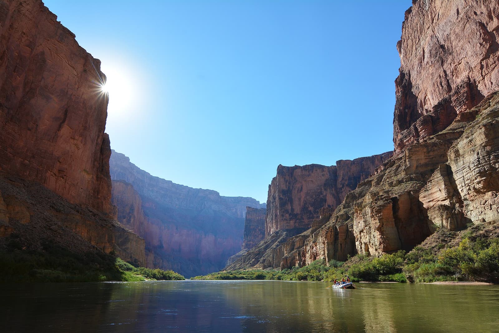
Rafts on the green Colorado River between towering canyon walls Inner canyon, North Rim & West

The Colorado River & Rafting

The river that carved it all

The Colorado River runs for 277 miles through Grand Canyon National Park, and a rafting trip through it is one of the great journeys in North America. Full trips last from about a week to almost three weeks and are booked far in advance; shorter options include partial trips, a gentle float through Horseshoe Bend near Page, and boat rides at Grand Canyon West.

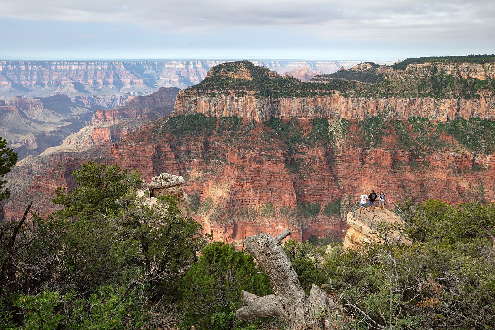
View across forested ridges and red cliffs from a viewpoint on the North Rim Inner canyon, North Rim & West

North Rim

Higher, cooler, quieter — and seasonal

Only about ten miles from the South Rim as the raven flies but some 210 miles by road, the North Rim stands about 1,000 feet higher, in forest of spruce, fir and aspen. It normally opens only from mid-May to mid-October. In July 2025 the Dragon Bravo Fire destroyed the historic Grand Canyon Lodge and other buildings, so services and access may be limited — check the National Park Service before planning a visit.

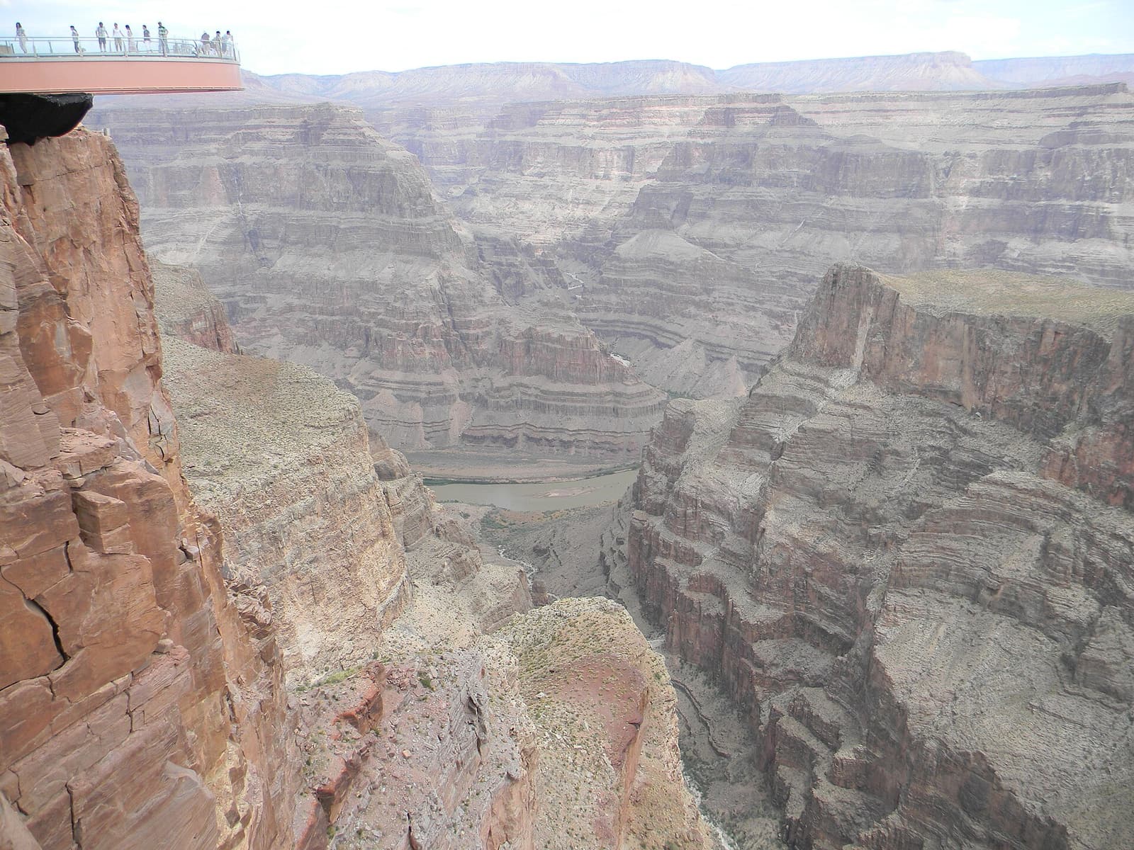
Canyon walls and the Colorado River far below Eagle Point at Grand Canyon West Inner canyon, North Rim & West

Grand Canyon West & the Skywalk

Hualapai land, Eagle Point and the glass bridge

Grand Canyon West is not part of the national park: it lies on the Hualapai Reservation, about two and a half hours’ drive from Las Vegas, which is why most day tours from Vegas go here. Entry is by a Hualapai package, and the Skywalk — a horseshoe-shaped glass walkway over the canyon at Eagle Point — is a separate add-on. Guano Point has the best open views of the river.

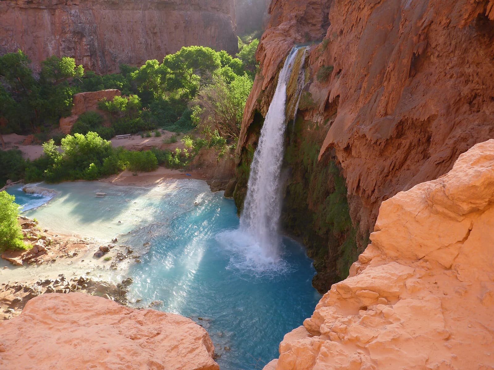
Havasu Falls dropping into a turquoise pool surrounded by red rock and green trees Inner canyon, North Rim & West

Havasu Falls (Havasupai)

Turquoise waterfalls — by permit only

Deep in a side canyon on the Havasupai Reservation, Havasu Creek pours over red cliffs in a series of blue-green waterfalls. Visiting requires an overnight reservation made through the Havasupai Tribe’s own system, released once a year and in very high demand; there are no day visits. The trailhead is a long drive from anywhere, followed by a hike of about 10 miles each way.

Canyon country nearby

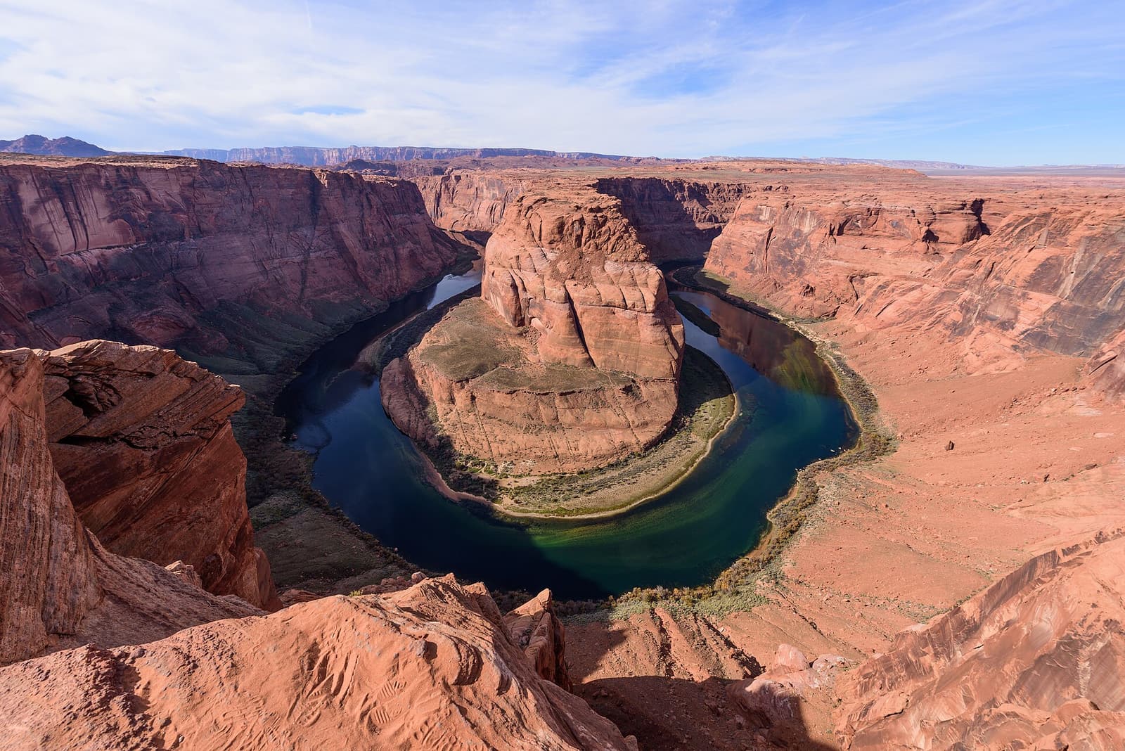
Horseshoe Bend, where the Colorado River loops around a red sandstone outcrop Canyon country nearby

Horseshoe Bend

The Colorado River’s famous loop near Page

Just outside the town of Page, a short walk across sandstone leads to a cliff edge high above a perfect horseshoe meander of the Colorado River. It is one of the most photographed views in the American Southwest, about two and a half hours’ drive from the South Rim and an easy add-on to Antelope Canyon.

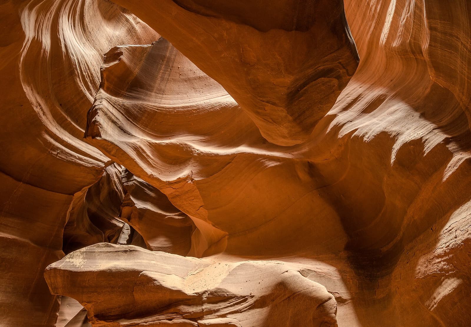
Light falling on swirling orange sandstone walls inside Antelope Canyon Canyon country nearby

Antelope Canyon

Arizona’s most famous slot canyon

A narrow slot canyon of swirling, wave-like sandstone on Navajo land near Page. Upper Antelope is entered at ground level; Lower Antelope involves stairs and ladders. Both can be visited only with a guided tour run by Navajo-authorized operators, and time slots — especially around midday — sell out well ahead.

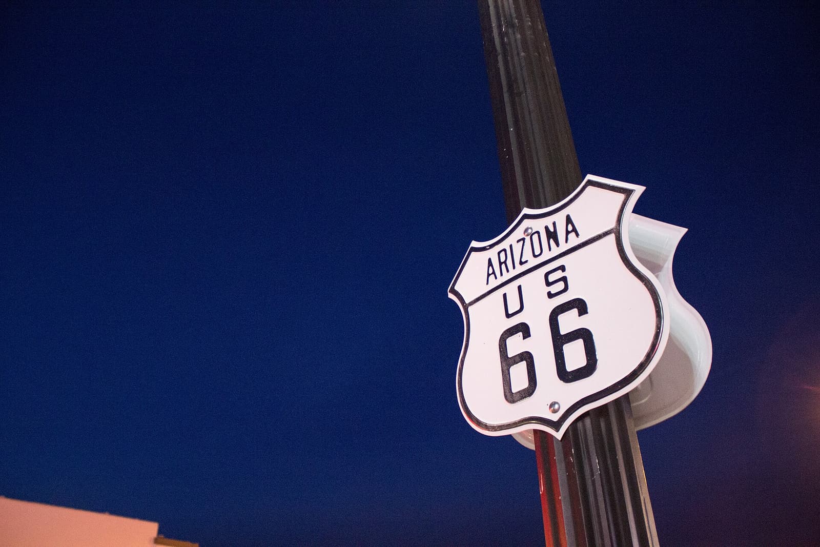
An Arizona Route 66 road sign against a deep blue sky in Williams Canyon country nearby

Williams & Route 66

Gateway to the Grand Canyon, and its railway

A small mountain town on historic Route 66, about an hour south of the South Rim, with neon-lit motels, diners and gift shops along its main street. It is the departure point of the Grand Canyon Railway and a popular, more affordable base for visiting the canyon.

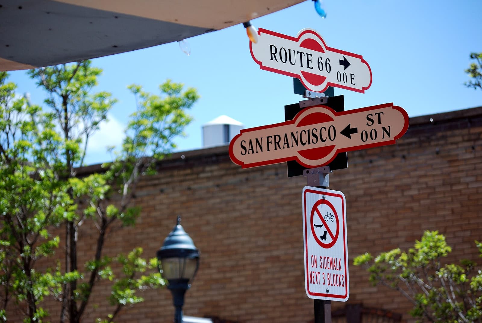
Route 66 and street signs in downtown Flagstaff, Arizona Canyon country nearby

Flagstaff

The region’s mountain city

A lively university and railroad town at about 7,000 feet, under the San Francisco Peaks, about an hour and a half from the South Rim. It has the widest choice of hotels and restaurants in the region, Lowell Observatory, a historic downtown on Route 66, and easy access to Sedona, Wupatki and Sunset Crater.

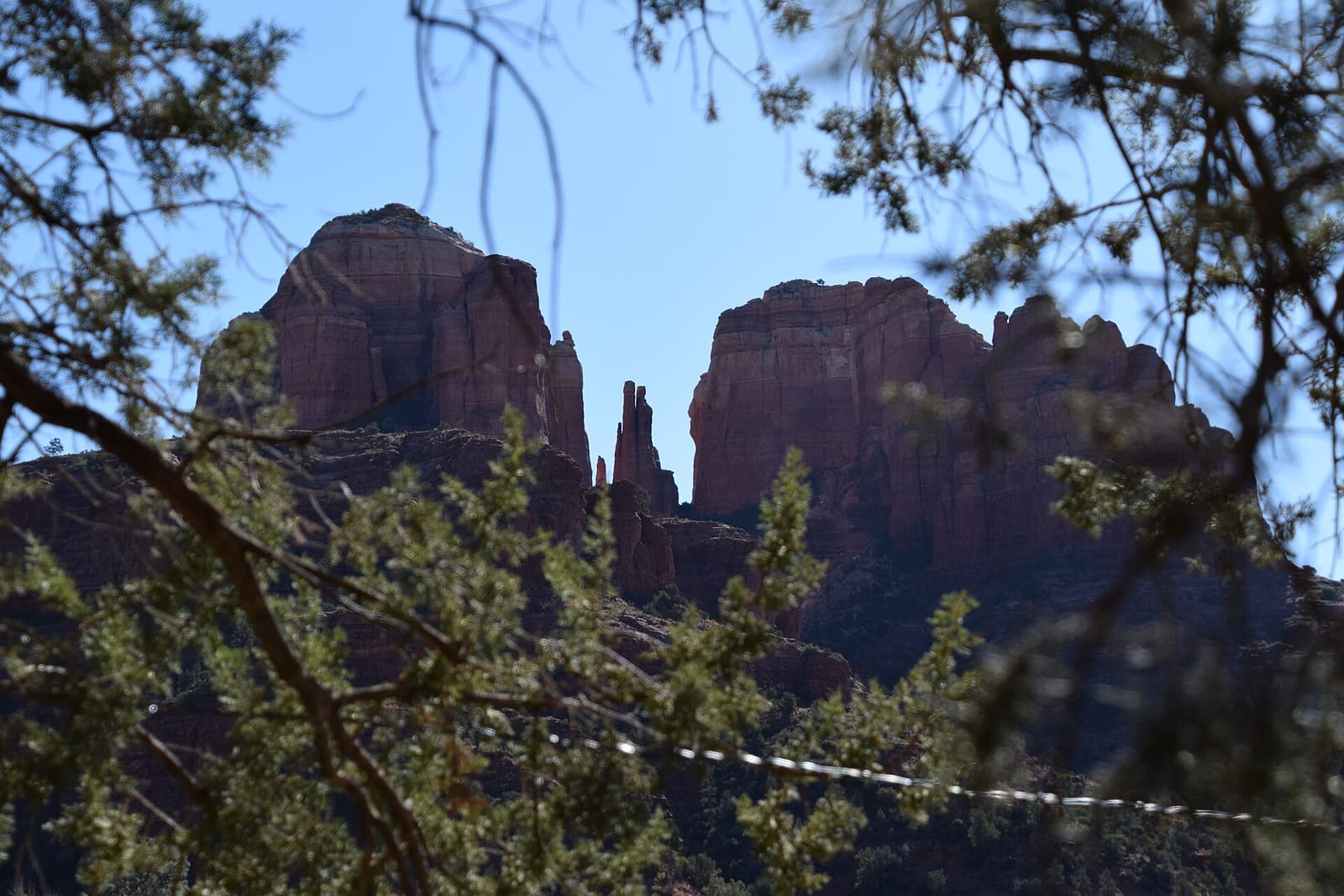
Cathedral Rock, a red sandstone butte, rising above the trees in Sedona Canyon country nearby

Sedona

Red rocks, jeep trails and vortexes

A resort town set among towering red-rock buttes about two hours south of the South Rim, famous for its scenery, hiking, jeep tours and its reputation for spiritual “vortexes”. Many visitors combine it with the Grand Canyon, either on a day tour from Phoenix or as an overnight stop.

How to fit them together

  • Half a day: Mather Point, the Rim Trail to Yavapai Point and the historic buildings of Grand Canyon Village.
  • A full day on the South Rim: add the shuttle along Hermit Road, a short hike below the rim and sunset at Hopi Point.
  • A second day: sunrise, then Desert View Drive to the Watchtower — and on to Page for Horseshoe Bend if you are heading east.
  • From Las Vegas: Grand Canyon West and the Skywalk, often with a Hoover Dam stop.

Our itineraries show how to combine them day by day, and the tours page has guided options for every one.

Plan your Grand Canyon trip

Popular dates sell out. Book before you go.

Helicopter flights, Antelope Canyon time slots and small-group tours have limited places, and spring, summer and holiday weekends fill up early. Compare and reserve in a couple of taps — most tours can be cancelled free of charge.